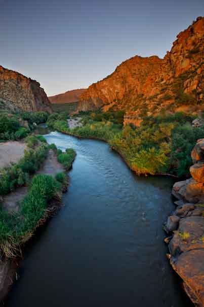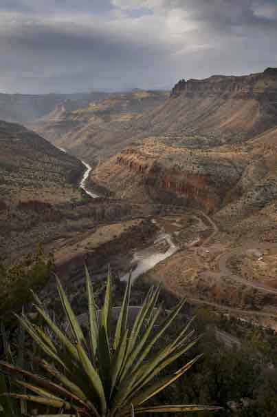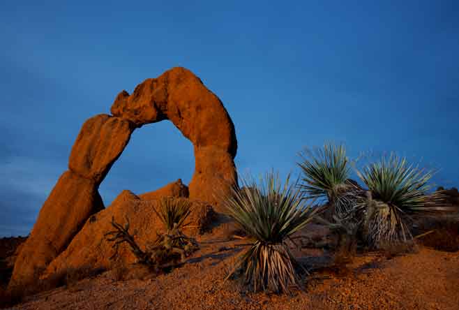
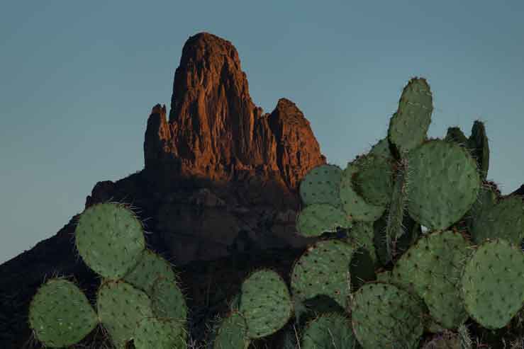
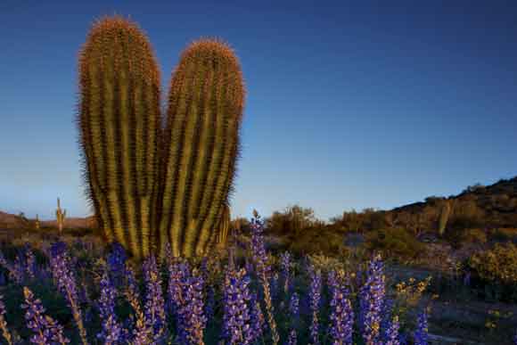

Upper Salt River, Arizona
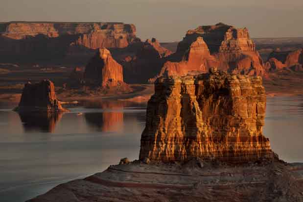
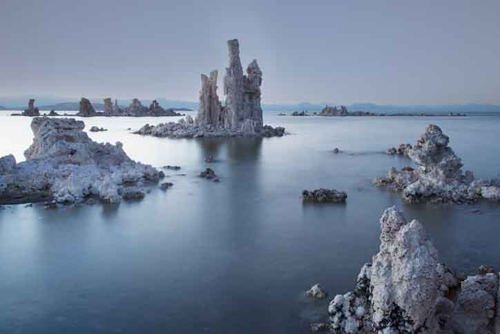
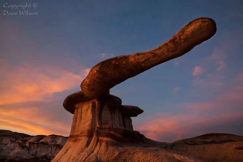
These photos were taken along the 50 miles or so of wild river
above Roosevelt Lake
. Some were taken on the Tonto National
Forest and others on the San Carlos or Fort Apache Reservations.
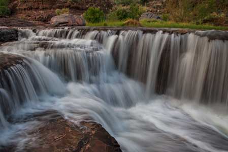
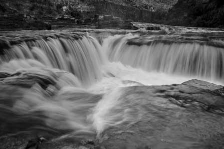
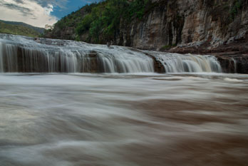
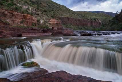
All the waterfalls are Apache Falls. The orange colors in some
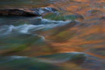
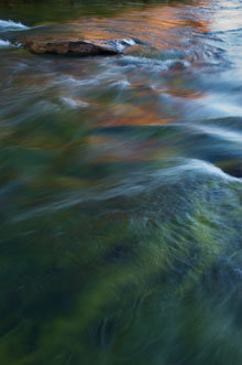
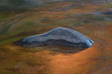
of the photos are reflections of nearby red-orange cliffs.

Also see Roosevelt Lake, Canyon Lake, Saguaro Lake,
and Apache Lake, which are all reservoirs on the Salt River.
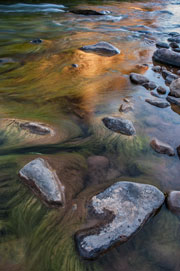
Upper Salt River, Arizona   Upper Salt River, just above Roosevelt Lake, Arizona.   Apache Falls on the upper Salt River, Arizona. This stretch of river serves as the border between the San Carlos and Fort Apache Reservations.   Apache Falls on the upper Salt River, Arizona. This stretch of river serves as the border between the San Carlos and Fort Apache Reservations.   Apache Falls on the upper Salt River, Arizona. This stretch of river serves as the border between the San Carlos and Fort Apache Reservations.

Apache Falls on the upper Salt River, Arizona. This stretch of river serves as the border between the San Carlos and Fort Apache Reservations.   Upper Salt River, Arizona   Upper Salt River, Arizona   Upper Salt River, Arizona   The Salt River Canyon on the Apache Indian Reservation, Arizona.