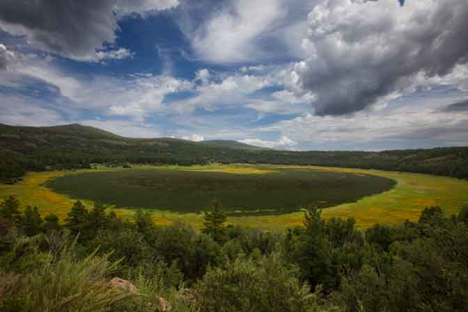
Perry Mesa
Agua Fria National Monument
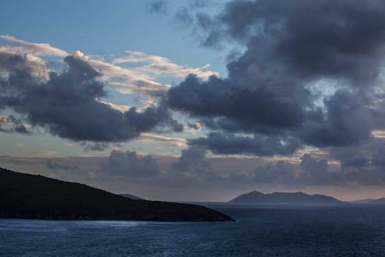
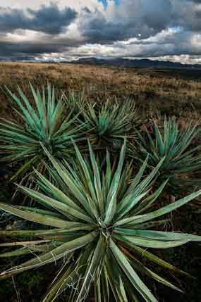
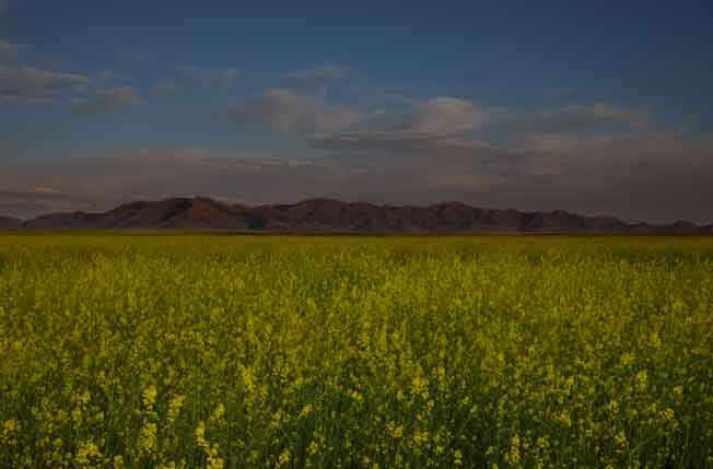
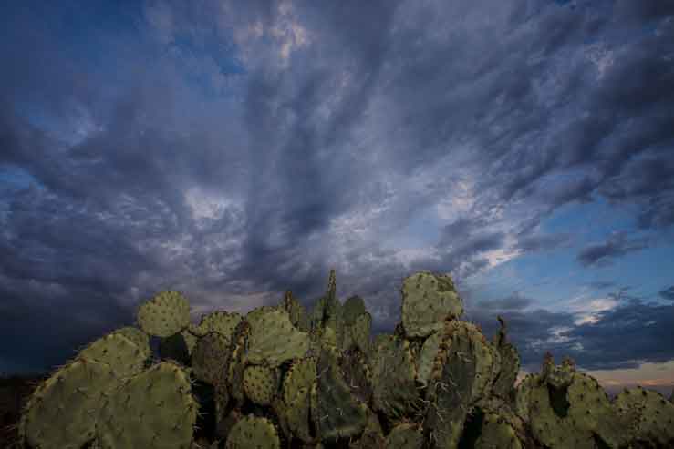
Perry Mesa consists of 75 square miles of mostly grassland north of Black Canyon City,
south of Cordes Junction and east of the Bradshaw Mts. If you've ever driven from Phoenix
to Flagstaff on I-17 then you've driven along the western edge of this area. Most
of Perry
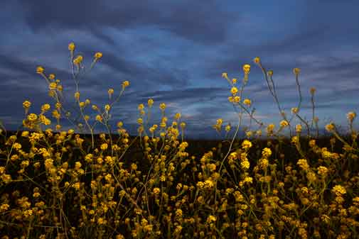
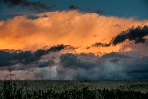
Mesa looks like a prairie, except where it's cut by deep, rugged canyons created by the Agua
Fria River and its tributaries. Wildlife thrives in the area including great herds of antelope.
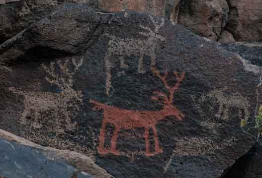
In
2000 President Clinton proclaimed the area protected and most of Perry Mesa became
Agua
Fria National Monument. One of the main reasons for this was to protect the region's
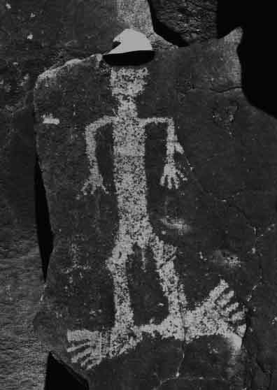
ancient Native American archaeological sites including enormous stone pueblos and
spectacular petroglyphs, some which I wrote about in my book Ruins Seldom Seen
(large as the ruins are, I think the rock art is actually more photographable).